Weather briefing: Atlantic low and US winter outlook
Forecasters track an offshore system near the mid-Atlantic as winter predictions point to widespread seasonal shifts.

Today’s meteorological updates cover offshore system tracking in the Atlantic alongside seasonal forecasts for the coming winter.
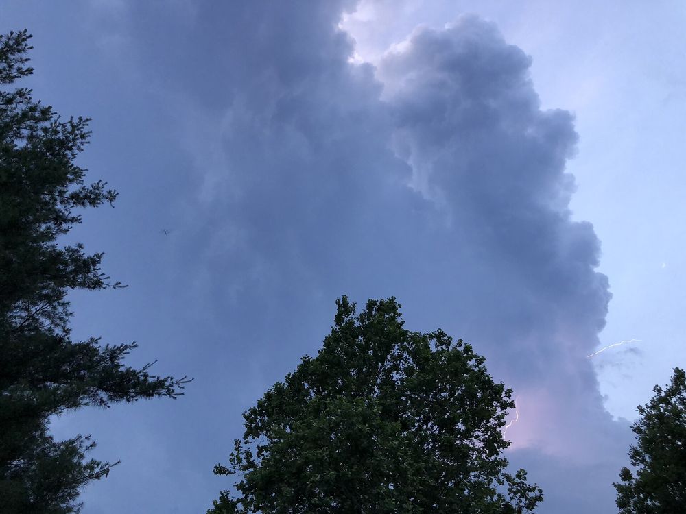
Offshore Atlantic low monitored for subtropical development. According to the National Hurricane Center, a storm-force system several hundred miles east of the American coast is generating showers and thunderstorms. Forecasters noted the weather pattern could transition toward subtropical status as it drifts across the Gulf Stream in the coming days.[1]
El Nino expected to shape United States winter weather. NOAA projected that seasonal patterns between December 2026 and February 2027 will bring mild temperatures to northern states alongside heavier precipitation across southern regions and the East Coast. The agency added that drought conditions should ease across large parts of the country.[2]
NOAA releases aerial surveys of Hurricane Isaias impact. Overhead imagery documenting storm destruction in Pensacola, Florida, has been made accessible to the public, NOAA reported. The photographs were gathered by survey planes following the storm’s transit across the region earlier in the month.[3]
Satellite altimetry tracks subtle ocean Kelvin waves. NOAA highlighted how orbital radar measures broad sea height anomalies linked to slow-moving Kelvin waves, which do not crash on beaches. Sea elevations recorded by instruments vary from under a quarter of a metre to over a metre above typical levels.[4]